Isochrones from Point-Layer
This algorithm returns service/reachability areas for multiple locations and time/distance ranges.
Toolbox Button
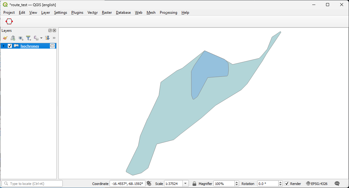
Preview
Parameters
Provider
Select the openrouteservice provider you want to use.
Travel Mode
Select mode of travel.
Options
- driving-car
- driving-hgv
- cycling-regular
- cycling-road
- cycling-mountain
- cycling-electric
- foot-walking
- foot-hiking
- wheelchair
A detailed description of this can be viewed heres
Input Point from map canvas
Click the ... button and choose a point on the map canvas that will serve as the isochrone center.
Dimension
Select wether ranges should be calculated based on time or distance.
Options
- time
- distance
Comma-separated ranges
Specify the ranges that should be calculated. Based on your selection in Dimension this will be either in minutes or meters as units.
Location type
Specify wether the points should be treated as a starting point or a destination. Start treats the location(s) as starting point, destination as goal.
Options
- start
- destination
Isochrones(Output)
Specify a path, where the layer will be saved. Leaving this empty will result in a temporary layer.
Advanced Parameters
These are optional parameters you can use to avoid certain areas.
Features to Avoid
You can make your isochrones avoid particular features. Specify them here.
Options
- Highways
- Tollways
- Ferries
- Fords
- Steps
Types of borders to avoid
Specify which type of border crossing to avoid.
Options
- all
- controlled
Comma-separated list of ids of countries to avoid
List of countries to exclude from isochrones with driving-* profiles. Can be used together with 'avoid_borders': 'controlled'. [ 11, 193 ] would exclude Austria and Switzerland. List of countries and application examples can be found here. Also, ISO standard country codes cna be used in place of the numerical ids, for example, DE or DEU for Germany.
Polygons to avoid
You can make your isochrones avoid particular polygons from your layers. Specify them here.