Directions from 1 Point-Layer
This algorithm calculates optimal routes for (Multi)Point layers.
Toolbox Button
Preview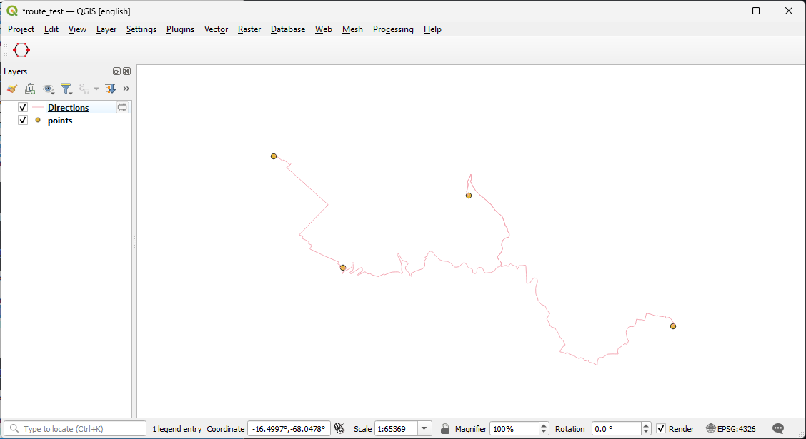
Parameters
Provider
Select the openrouteservice provider you want to use.
Travel Mode
Select mode of travel.
Options
- driving-car
- driving-hgv
- cycling-regular
- cycling-road
- cycling-mountain
- cycling-electric
- foot-walking
- foot-hiking
- wheelchair
A detailed description of this can be viewed here
Input Layer
Choose a Point or MultiPoint layer as Input.
Layer ID Field
These Values will transfer to the output layer and can be used to join layers or group features afterwards.
Sort Points
Before running the algorithm points are sorted by the values of this field (Be aware of the field type! Text fields will be sorted as 1,13,2,D,a,x)
Travel preference
Dictates the cost. For longer routes don't use Shortest Path.
Options
- fastest
- shortest
- recommended
Traveling Salesman
You can optionally perform a Traveling Salesman Optimization on the waypoints of each (Multi)Point feature. Enabling Traveling Salesman will erase all other advanced configuration and assume the preference to be fastest.
Examples
Traveling Salesman Problem: Round trip
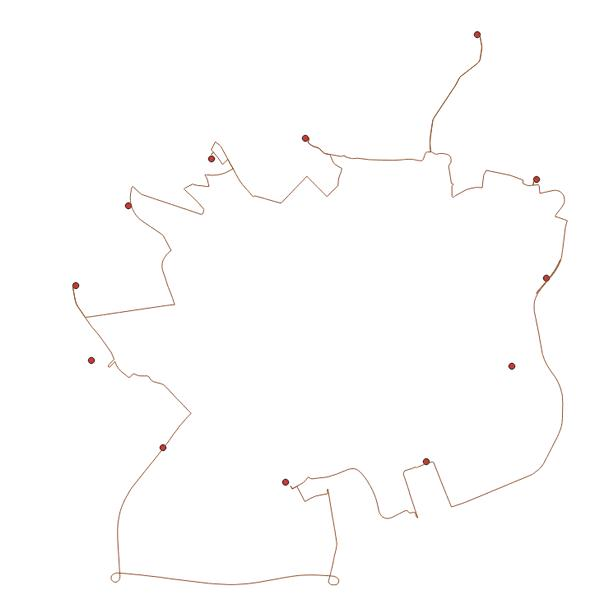
Traveling Salesman Problem: fix start point
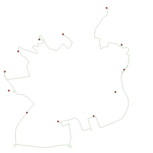
Traveling Salesman Problem: fix end point
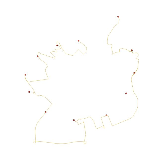
Traveling Salesman Problem: fix start and end points
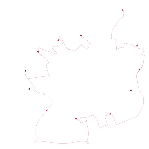
Directions(Output)
Specify a path, where the layer will be saved. Leaving this empty will result in a temporary layer.
Advanced Parameters
These are optional parameters you can use to avoid certain areas.
Features to Avoid
You can make your route avoid particular features. Specify them here.
Options
- Highways
- Tollways
- Ferries
- Fords
- Steps
Types of borders to avoid
Specify which type of border crossing to avoid.
Options
- all
- controlled
Comma-separated list of ids of countries to avoid
List of countries to exclude from route with driving-* profiles. Can be used together with 'avoid_borders': 'controlled'. [ 11, 193 ] would exclude Austria and Switzerland. List of countries and application examples can be found here. Also, ISO standard country codes cna be used in place of the numerical ids, for example, DE or DEU for Germany.
Polygons to avoid
You can make your route avoid particular polygons from your layers. Specify them here.